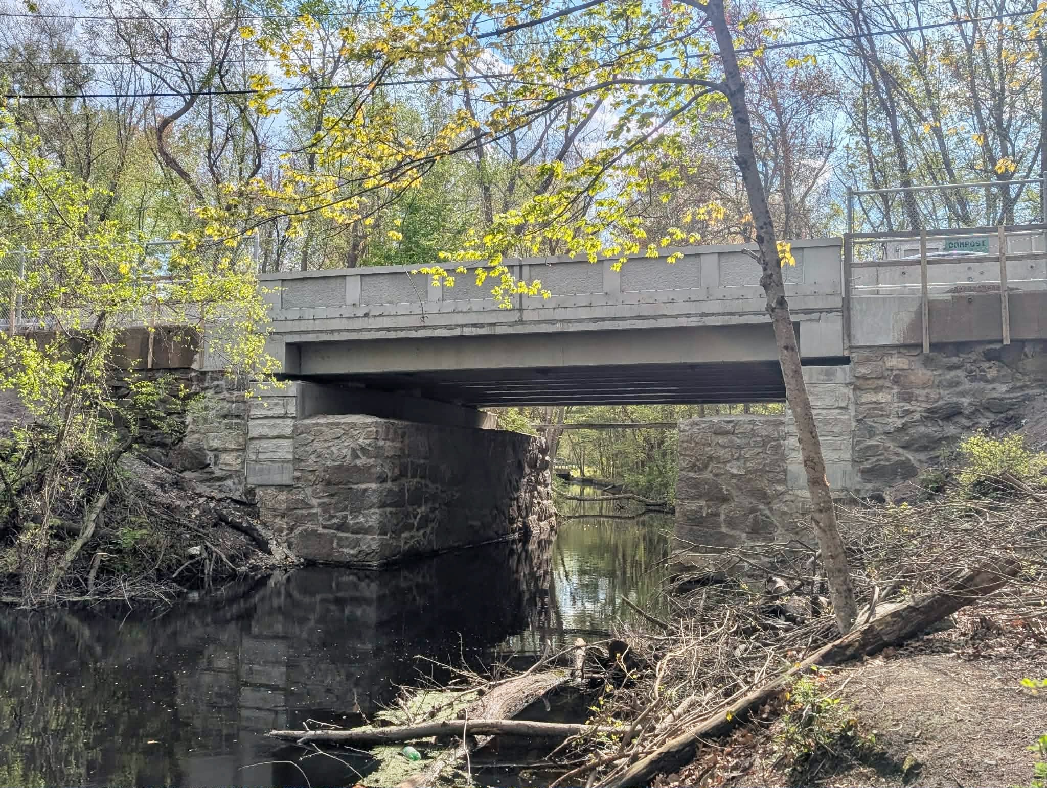
CUMBERLAND – Newell Bridge No. 204, a small but pivotal connection point to the northernmost parts of town, including Diamond Hill Park and the Ice Cream Machine, is now fully back in operation.
The bridge carrying Diamond Hill Road over the east branch of Sneech Brook near Bentley Field and the town’s water supplies has roots dating back to the early 1800s, and its granite abutments installed in 1887 were reused as part of the Rhode Island Department of Transportation’s replacement of the bridge.
The bridge is getting done on time before a completion date of Aug. 31, said Lisbeth Pettengill, spokesperson for RIDOT. It comes at a total cost of $10.6 million, also covering its state grouping with the nearby Sneech Pond Road Bridge.

There was some discussion before the bridge project about potentially closing it down completely for work to proceed, but RIDOT ultimately went with a more phased approach with lane restrictions, waiting until recently to do simple weekend closures to allow final work.
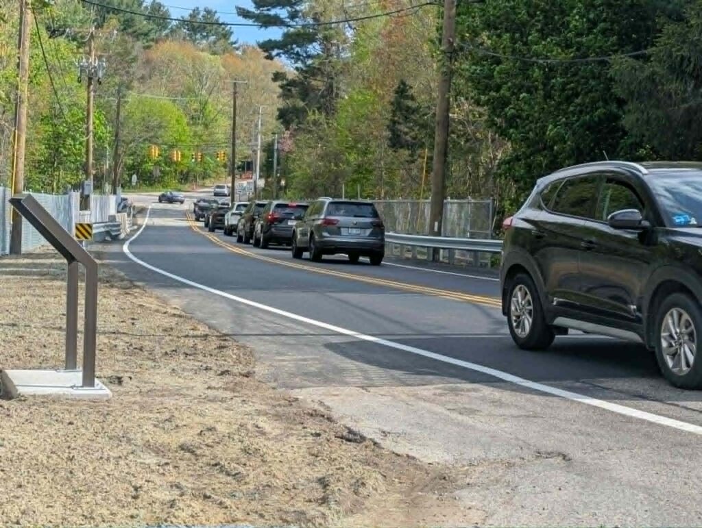
For Cumberland, this represents one of the final pieces in getting its two main corridors, Diamond Hill Road and Mendon Road, to a place where they can be fully functional for decades to come. One of the final stages, following drainage projects, new bridges, and new roundabouts, will be completion of the new bridge between the roundabouts closer to Chapel Four Corners.
According to an interpretive panel installed as a final step on the project, the first bridge in this location was built in 1805 and spanned Newell Pond, which was formed through the damming of Sneech Brook for industrial purposes.

That bridge was subsequently washed out and a replacement wrought iron beam bridge was constructed in 1887. In 1926, the State Board of Public Roads removed the 1887 bridge. With no known evidence of structural failure, a replacement bridge was likely required to accommodate a change in grade and alignment of Diamond Hill Road, along with the need for the bridge to carry heavier loads of cars and trucks.
The two granite abutments were retained from the 1887 bridge and concrete was added to increase the height of the piers to meet the new roadway, states the synopsis. The replacement bridge, known as Newell Bridge No. 204, was completed in 1927, comprising the earlier substructure beneath a standardized state bridge design. The 1887 abutments were again reused for the bridge seen today, according to RIDOT.
Upstream from the bridge, the Works Progress Administration built a riverwalk in 1940 that lines a short section of Sneech Brook. The WPA was a program initiated in 1935 as part of the New Deal under President Roosevelt with a goal of creating jobs and public works projects during the Great Depression. The wet-laid rubble walls are contiguous with the riverwalk of the granite bridge abutments.
The bridge’s 1927 superstructure consisted of a reinforced concrete slab with an overall length of 26 feet and a width of 42 feet. The bridge included two outer girders forming the base of the parapet railing. The parapet was 18 inches deep and 24 inches tall and included three recessed panels visible from the roadway with an overhanging cap. Low concrete retaining walls integrated into the bridge extended along both approaches, each one forming a foundation for a 3-inch pipe railing. The bridge was one of 11 historic reinforced concrete slab bridges on Rhode Island state roads.
The bridge was named for the adjacent Newell estate, which included agricultural and milling operations active during the 19th century. Early deeds and maps suggest that by 1805, Jason Newell had erected a house and outbuildings near the corner of Diamond Hill Road and the present Nate Whipple Highway (previously an earlier alignment of Sneech Brook Road), and a sawmill nearby on Sneech Brook. Jason transferred the property to his son, John, in 1809.
Written accounts suggest that various family members could have constructed a new mill, which hosted a range of operations throughout the mid and late-1800s.

Archeological evidence confirms the mill’s location along the north bank of Sneech Brook. Masonry remains show what appears to be a stone-lined headache that once took water from above the surviving dam and delivered it to a wheel approximately 50 feet of the east. The south wall of the headrace was likely the north wall of the mill building.
Southwest of the mill was the Newell farmhouse. It remained in this location until 1927, when it was relocated to 3433 Diamond Hill Road as a result of the PWSB initiating expansion of the existing municipal water supply. The PWSB surveyed the area south of the Diamond Hill Reservoir Dam at the confluence of Sneech Brook and Abbott Run and began the condemnation and acquisition of land necessary for an additional 260-acre, billion-gallon reservoir to be called the Arnold Mills Reservoir.